


Description
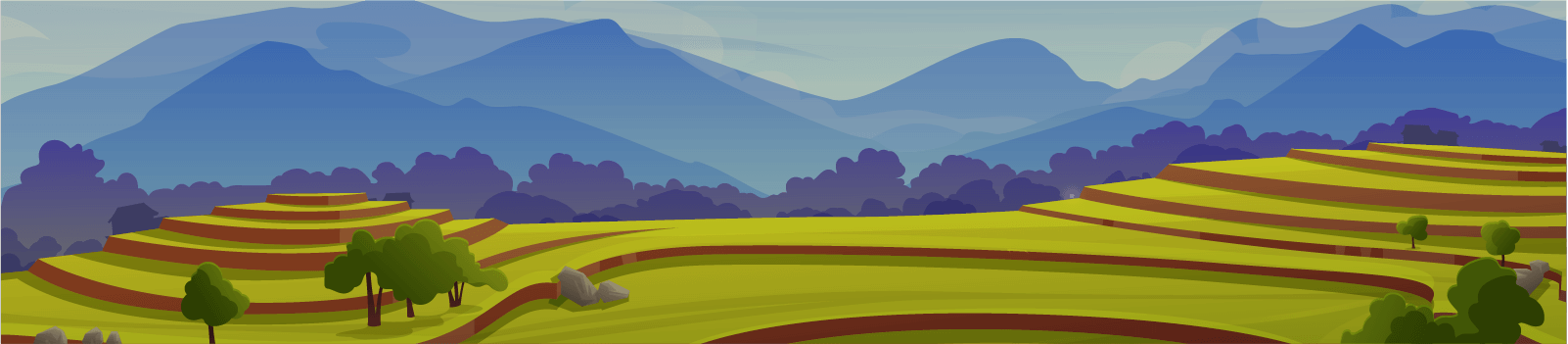
The Mau Forest is the largest closed canopy forest system and montane forest in Kenya, covering over 400,000 ha. It provides large parts of Kenya with fresh water. Significant deforestation and land-use change has taken place. However, scientific information on the consequences of this is sparse.
This project addresses this through a long-term assessment of the effect of land use on hydro-biogeochemical processes. The project will:
- Provide a long-term, high-resolution dataset on water quality and quality.
- Produce a robust database for hydro-biogeochemical impact model development, verification and application.
- Explore future land-use, management and climate change scenarios.
- Quantify water-related ecosystem services with respect to land use and climate change.
The Sondu river basin, in south-west Mau, has experienced significant forest loss through conversion to agriculture. A nested catchment approach has been applied, where automatic measurement equipment was set up at the outlet of three sub-catchments in 2015. Water level, turbidity, nitrate, dissolved and total organic carbon, electrical conductivity and water temperature is measured at 10-minute intervals. A fourth station is at the outlet of the larger catchment. Data from this site will be used for modeling and upscaling. The resulting high-resolution dataset will give a good estimation of the effect land use on stream flow patterns and water quality across seasons.
There are few long-term datasets for the tropics with the high temporal resolution obtained here. The planned extension of the monitoring program by 12 months will further improve the existing time series.