Description
The purpose of the assignment are:
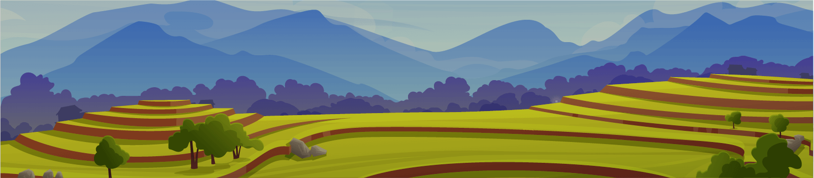
A) To implement the Land Degradation Surveillance Framework (LDSF) across the AKU’s Arusha lands, an area of nearly 4,000 acres located at the larger Manyara site and the smaller Two Rivers site. Outcomes of the assignments:
1) Establish a baseline of key land and soil health indicators.
2) Develop moderate to high resolution maps combining LDSF field data and earth observation (remote sensing) for key soil and land health indicators, including soil organic carbon and soil erosion prevalence.
3) Provide a georeferenced dataset of key indicators of soil and land health to track changes over time and to enable further research, outreach and collaboration; and
4) Develop joint research and community outreach programs on soil health, landscape restoration and SLM based on LDSF results.
Implement the rangeland health module to start building the biodiversity dataset on grass (annual and perennial), as well as herbaceous species. Obtained data can be by AKU for further research works.
B) Implement the rangeland health module to start building the biodiversity dataset on grass (annual and perennial), as well as herbaceous species. Obtained data can be by AKU for further research works.