


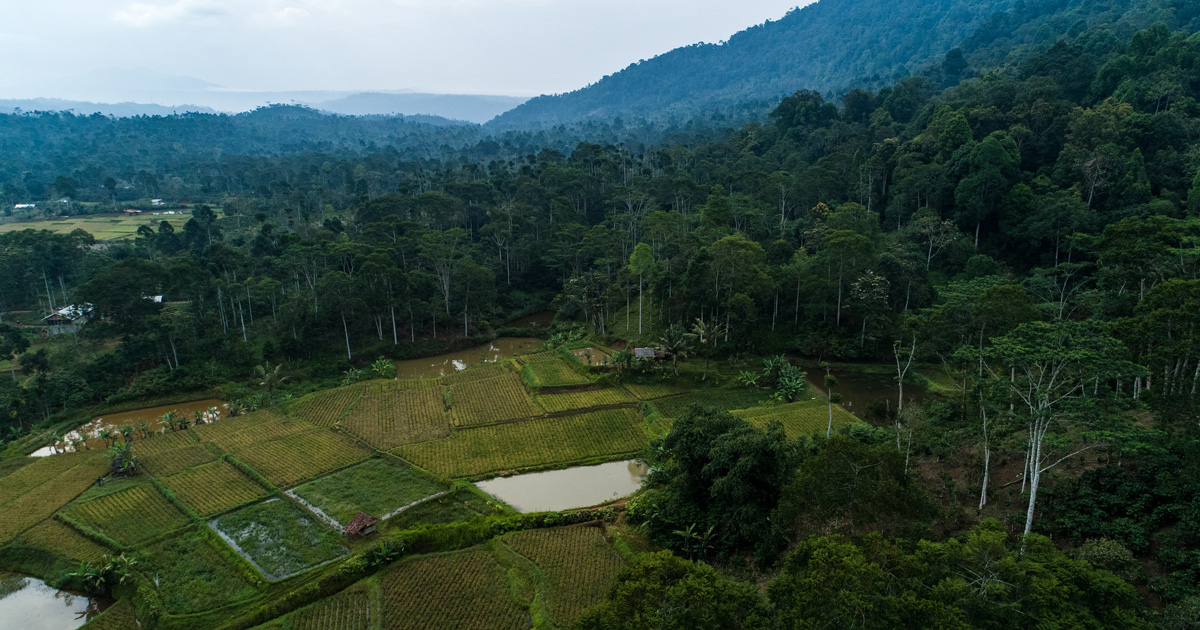


Indonesia, as a tropical country in South-East Asia, has a vast area of peatland forest threatened by deforestation and forest degradation. Peatland Forest in Kalimantan, Indonesia, has been heavily over-exploited for about five decades. Before it was the indigenous people, who utilized peatland forests as a resource to produce traditional food crops, fruits, and spices. Commercial exploitation, particularly for palm oil plantation, has become the primary reason in recent decades. In 2015, Indonesia Government applied a moratorium policy on peatlands to reduce the rate of peatlands degradation. Agroforestry practices have been proposed as an alternative livelihood to the rural communities that live near peatlands ecosystem in Kalimantan (Borneo) and as a buffer to protect the peatland ecosystems. A village spatial planning tool is used in determining the appropriate locations of the buffer zones. It considers the traditional land-use of the indigenous people as the base map. The objective of this study was to combine readily available ecological data and the base map data gathered from participatory approach to determine the most suitable locations for buffer zones in the Rimba Raya Biodiversity Reserve. Together through the participatory approach, the communities, government, and private sector conducted the planning, surveying and developing a suitability base map. The other variables considered in the making of a suitability map were ecologic factors (Peat soil depth, landcover, and NDVI) and disturbance factors (access and established traditional land use). The arc-map software was used to model the parameters. The southern area and some parts of the northern region of Rimba Raya Biodiversity Reserve were the most suitable locations to implement agroforestry.

Download:

DOI:
https://hdl.handle.net/10355/66316Altmetric score:
Dimensions Citation Count:
Publication year
2018
Authors
Language
English
Keywords
peatlands, livelihoods, rural communities, agroforestry
Geographic
Indonesia


