


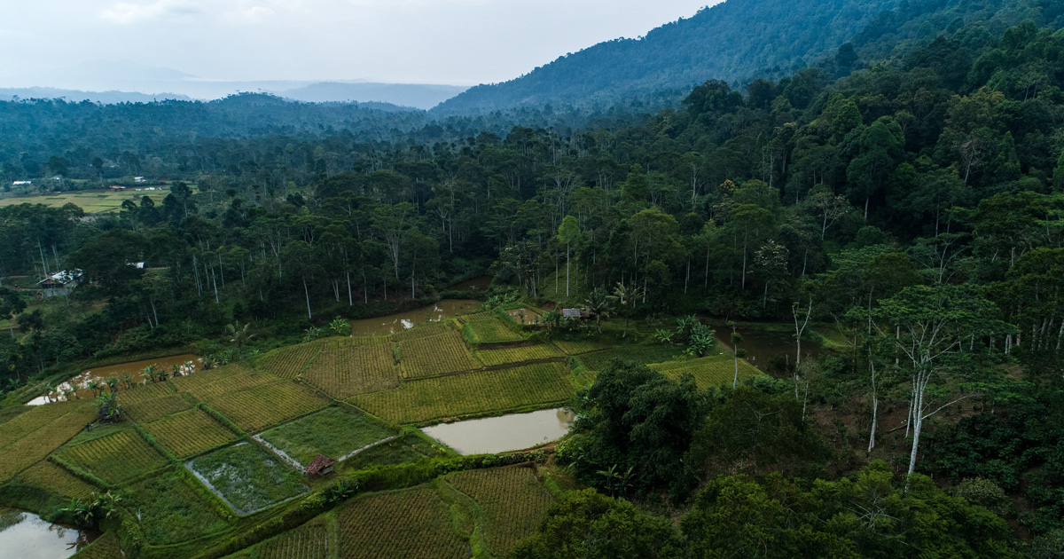


The accurate information of forest cover change is important to measure the amount of carbon release and sink. The newly-available remote sensing based products and method such as Daichi Forest/Non-Forest (FNF), Global Forest Change (GFC) datasets and Semi-automatic Claslite systems offers the benefit to derive these information in a quick and simple manner. We measured the accuracy by constructing area-proportion error matrix from 388 random sample points and assessed the consistency analysis by looking at the spatial pattern of deforestation and regrowth from built-up area, roads, and rivers from 2010 – 2015 in Katingan district, Central Kalimantan. Accuracy assessment showed that those 3 datasets indicate low to medium accuracy level in which the highest accuracy was achieved by Claslite who produced 71 % ± 5 % of overall accuracy. The consistency analysis provides a similar spatial pattern of deforestation and regrowth measured from the road, river, and built-up area though their distance sensitivity are different one to another.

Download:

DOI:
https://doi.org/10.22146/ijg.16469Altmetric score:
Dimensions Citation Count:
Publication year
2019
Authors
Arjasakusuma, S.; Pribadi, U.A.; Seta, G.A.
Language
English
Keywords
remote sensing, forest cover, carbon sinks, deforestation
Geographic
Indonesia


