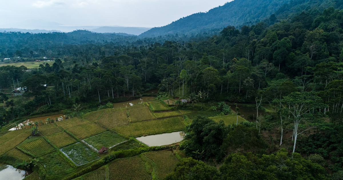


Like many developing countries, the Philippines has a shortage of land resource information at sufficiently fine scales for effective land-use planning. The country is also short of capacity to acquire such information with a declining number of soil surveyors and limited capability and resourcing of soil analytical laboratories. Digital land resource mapping (DLRM) provides an opportunity to address these shortages. A project in the Cabulig watershed (220 km2) of Northern Mindanao developed operational protocols by combining existing technologies to form a DLRM framework based on four ‘pillars’.1) Statistically-based sampling strategy to ensure unbiased coverage of the range of landscape positions, and remove the need for expert judgement in sample site selection in the field.2) Simplified site protocols that concentrate on soil specimen collection rather than soil description and classification.3) Rapid soil analysis by mid-infrared (MIR) to estimate soil attributes for all layers at every site after developing local calibrations using conventional laboratory analysis.4) Statistical spatial prediction to map a range of soil attributes using piece-wise linear regression modelling with bootstrap aggregation.Overall, this framework can enable more efficient use of scarce pedological expertise and laboratory facilities by devolving many tasks to local, non-expert teams. An added benefit is that the local teams acquire soil literacy and can help with on-going interpretation and application of the survey results. We also discuss how we addressed some of the practical issues that arise with conducting soil survey in the context of a developing country and in a remote survey area with rugged terrain.

DOI:
https://doi.org/10.1016/j.geoderma.2017.10.014Altmetric score:
Dimensions Citation Count:
Publication year
2017
Authors
Ringrose-Voase A J; Grealish G J; Thomas M; Wong M T; Glover M R; Mercado A; Nilo G; Dowling T I
Language
English
Keywords
land resources, watersheds, soil analysis, soil surveys
Geographic
Philippines