


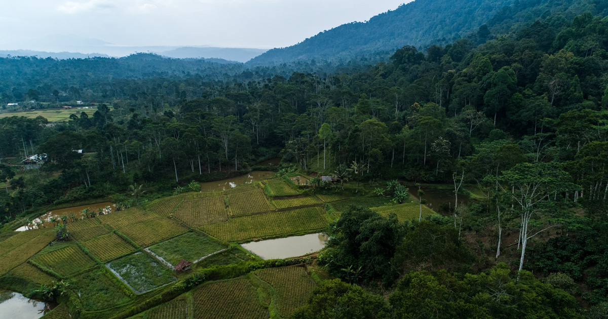


Tropical peat land constitutes peat formation in the tropical zone occurring in low-lying areas with excessmoisture and high annual rainfall. Peal soils consist wholly or are dominated by organic material originatingfrom forest vegetation. The tropical peatland is a unique natural resource potentially utilizable for variety ofpurposes. As a land resource, tropical peatland can be used for annual and perennial crop cultivation, forplantations and, to a lesser extent, aquaculture. Peat can also be utilized as growth substrate in nurseriesand as pollutant adsorbent.Tropical peatlands are an important resource providing numerous goods and products of importance forlocal communities and national economies such as timber, rattan herbs and medicinal plants and fauna ofeconomic and conservation values. The peatlands also provide numerous environmental functions such asecosystem maintenance, carbon storage, hydrological regulation and support for fisheries and biodiversityconservation. Peatland ecosystems are important for water resources conservation since their ability tostore water is very high - up to eight times the dry weight of peat.Sumatra still has 6.5 million hectare (mainly in eastern coast) of Indonesia’s more than 16 million hectares.Tropical peatlands are subject to major impacts owing to land use change and fires. The increasing need forland, food, and fibre has led to clearance of large areas of peatland followed more often by inappropriateand unsustainable forms of peatland management resulting in degradation of the natural forest vegetation,lowering of peat water table, increase of peat surface and air temperatures and recurrent surface andground fires. Consequently this leads to large emissions of carbon and smoke into the atmosphere.Domes of peatland along the western coast of Aceh are evident (map). The peat domes such as thosebetween the major rivers (Krung Meureubo and Krueng Bubon, Krueng Bubon and Krueng Woyla) are animportant part the landscape along the western coast of Aceh. Most of these peat domes have beenconverted to rubber agroforests by farmers since many decades. The old rubber agroforests on the peatdomes along the western coast of Indonesia are an important source of household income for thesmallholder farmers and share tappers. These rubber agroforests were originally established from rubberseedlings and managed on low or no external input. Hence the latex productivity of these agroforests isrelatively low although rubber tree density is high . Other products such as firewood and edible mushroomsare also extracted.
Publication year
2006
Authors
Joshi L; Subiksa I G M; Agus, F.
Language
English
Keywords
cultivation, economics, environmental impact, land resources, peatlands, timber
Geographic
Indonesia
