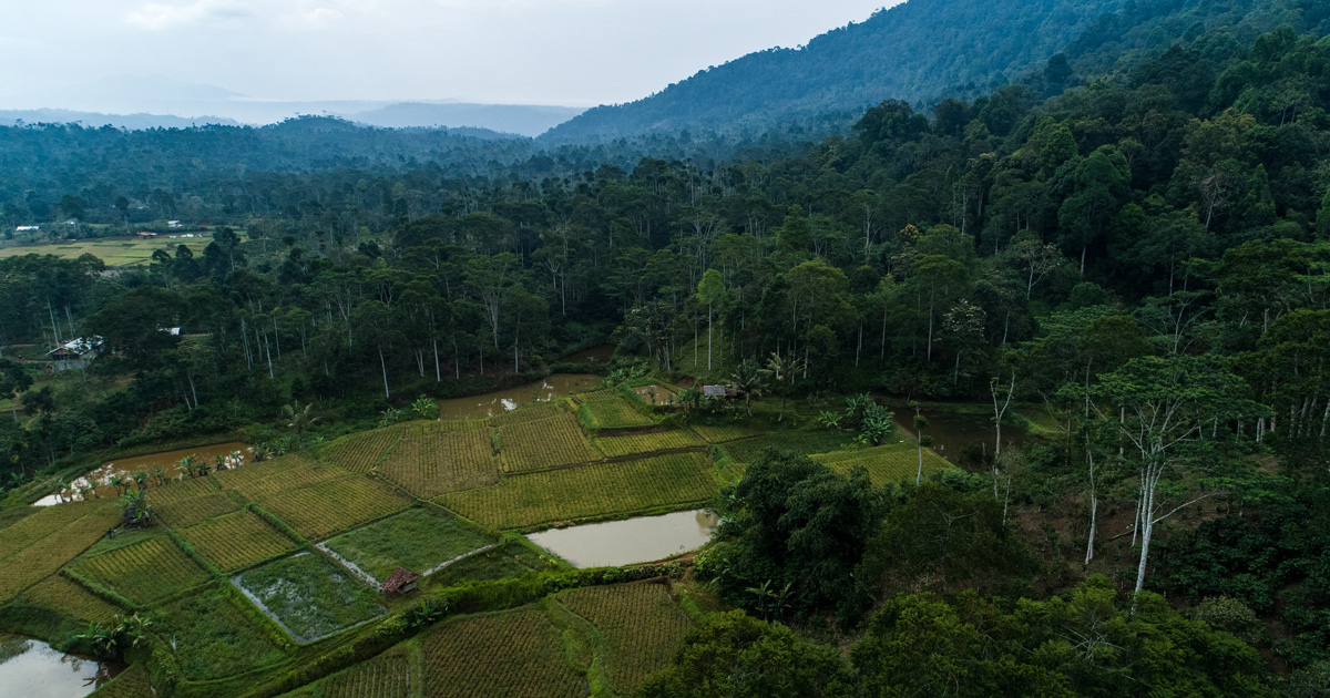


Understanding the historical evolution of land use in humid tropical agroecosystems may assist in developing more appropriate farming systems better able to sustain dense human populations, alleviate deforestation and regenerate degraded land resources. We analyzed land use change over a 40 year period for a key acid upland farming systems research site (8 km × 10 km) undergoing rapid transformation in Claveria, Mindanao, Philippines. The landscape is dominated by small-scale cereal cropping on gently to steeply rolling volcanic Oxisols. The six slope classes identified (ranging from 0–3% to more than 60%) each occupied between 9 and 19% of the study area. Aerial photographs (1:15000) taken in 1949 and 1967, and a ground survey in 1988, were used to map land use patterns at three points in time. Settlement by in-migration began early in the twentieth century. By 1949 9% of the land was cultivated, but grassland (59%) and forest (14%) were the dominant land uses. From 1949 to 1967 the cultivated area doubled to 20%, and the proportion of grassland decreased to less than 50% of the land. The forested area remained unchanged. Subsequently, settlement by small-scale farmers accelerated. Between 1967 and 1988 the area cropped annually doubled again to 41%. Forest land declined drastically during this period to 1%, while perennial cropland (mainly coffee) increased to 30%. Land use on the steeply sloping lands (more than 15%) was particularly affected during the 21 year period: 27% was converted to field crop production, and 43% to perennial crops. More than 33% of the food crop area is now on steep slopes. The analysis of the historical evolution of land use may guide research priorities for developing sustainable technologies on sloping land based on agroforestry.
00552-P&apiKey=3948bb216041dbffcb29a618defafc29&httpAccept=image%2Fjpeg)
DOI:
https://doi.org/10.1016/0167-8809(94)00552-PAltmetric score:
Dimensions Citation Count:
Publication year
1995
Authors
Language
English
Keywords
humid tropics, land use, agroecosystems, agroforestry, deforestation, farming systems
Geographic
Philippines